ANWYN
HOWARTH
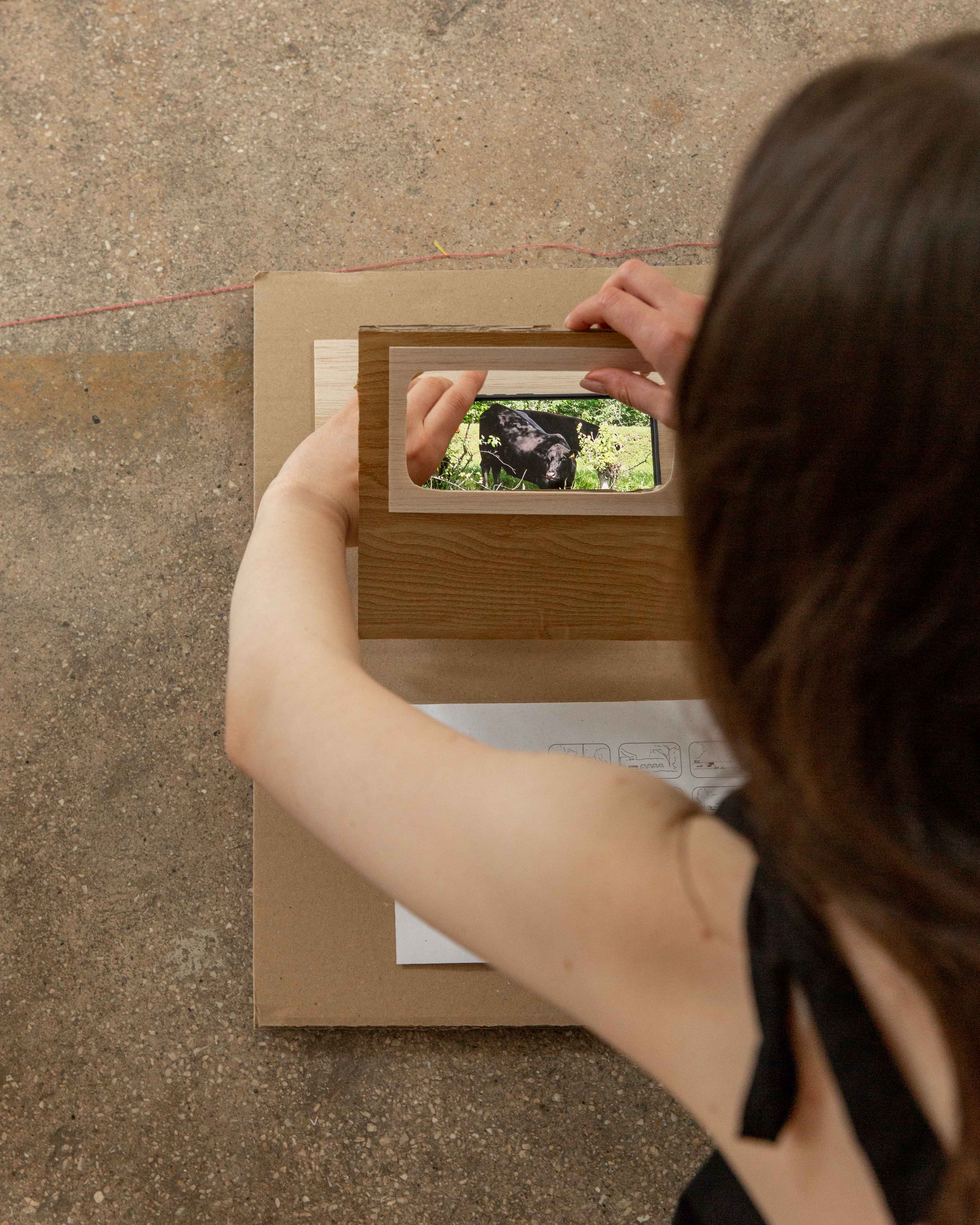
Along the Bega River, habitants have taken initiative to make use of public or ‘non-space’. During our tour, I used my phone as a stencil to recreate the 16:9 ratio of the window frames on board the boat, sketching these private interventions as they appeared. Back in the studio, I paired the sketches with a scale model of the cabin wall, playing with the visual parallels of the window frames and the device I used to document them - my phone.
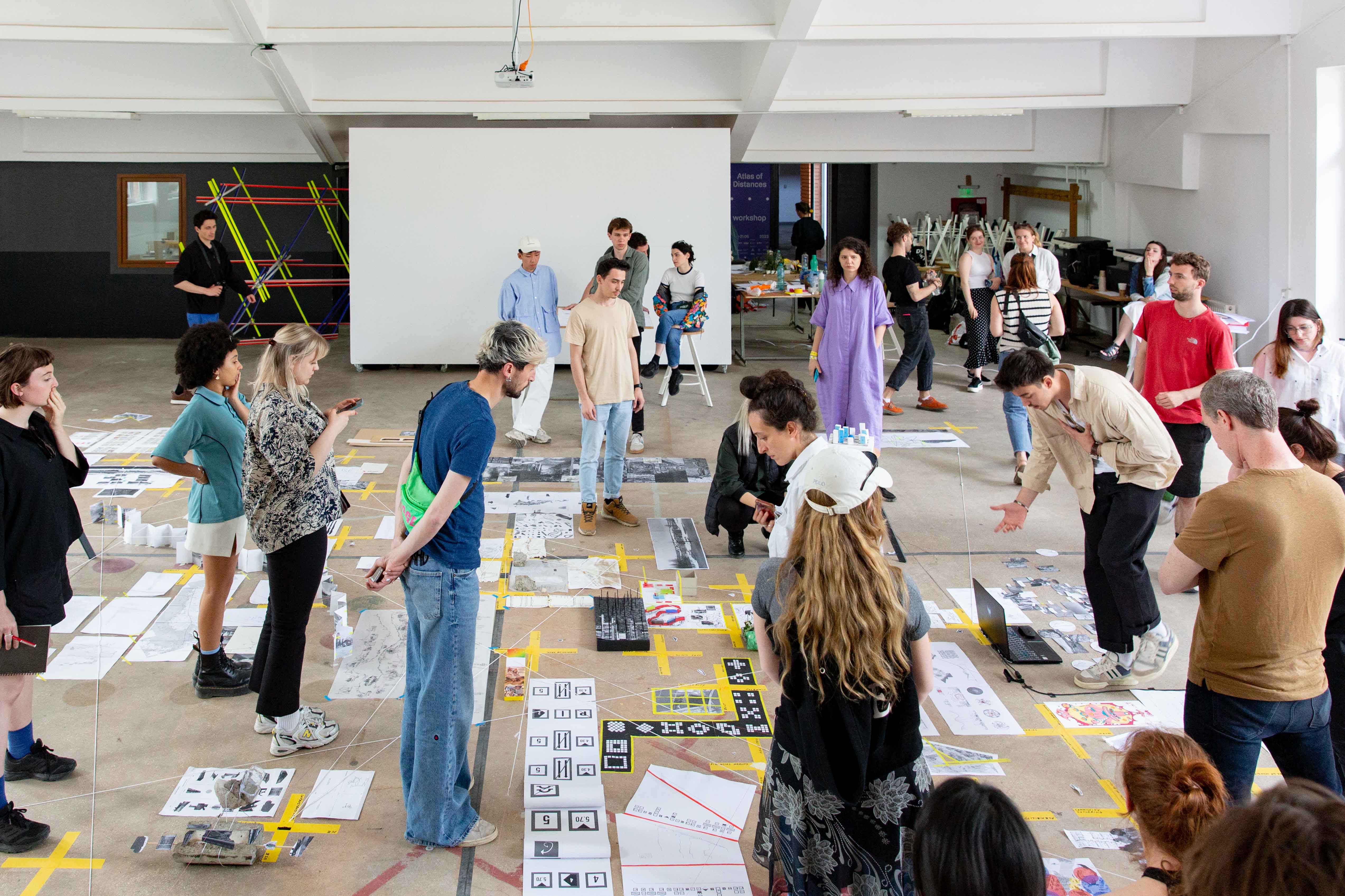
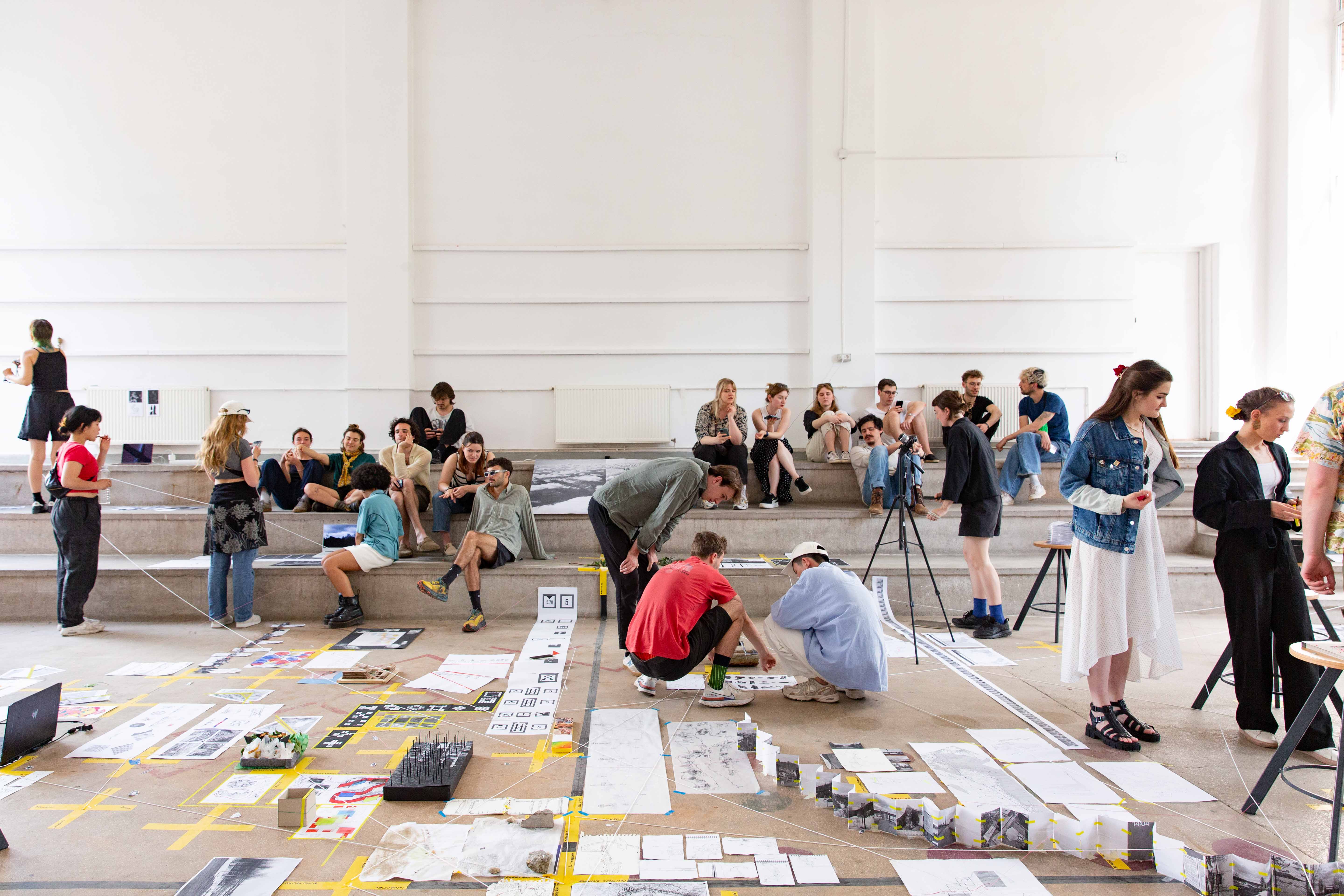
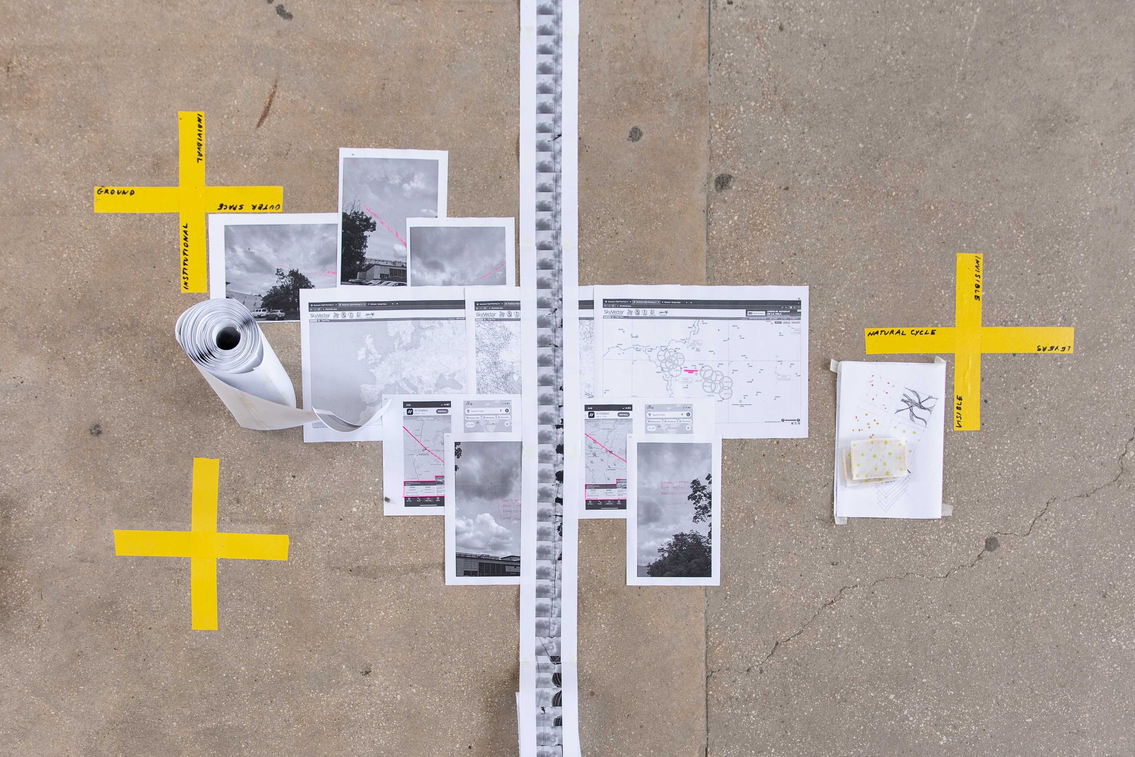
The outcome was a kind of mixed media interface that allows the viewer to install their own findings into the map. In this way the project becomes a subtle critique on the site researcher as primary mapper.
How might the practice of field research be better geared towards the population specific to the site? Could a personal digital device be a kind of ‘carrier bag’ for deep mapping and collective research by the very population to whom the mapping is most relevant?